Geofence alerts in TeamMap: setup and tuning
Set up geofence alerts in TeamMap: draw perimeter and restricted zones, pick the trigger, and tune zone size and exit margin so alerts stay believable.

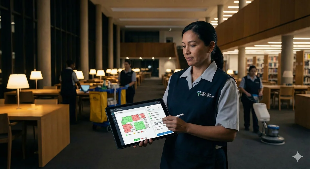
A geofence is a shape on a map that notices when someone crosses it. Set it up well and a dispatcher learns a guard left the property before the client does. Set it up badly and the alerts run all night unread.
Draw the zone, pick what it is for, then tune it against GPS reality. Zones are circles, rectangles or polygons; triggers fire on enter, exit, dwell or cross; and three settings do most of the false-alarm work: zone size at 100 meters, exit margin at 20 meters, and arrival confirmed after 2 updates from inside.
Geofences are a paid feature. Free has none. Pro gets one zone. Business and Enterprise get as many as you draw, and they are also the plans that keep location history, so they are the plans where a crossing can be replayed later.
What are geofences actually good for?
Three jobs, and they want different settings.
Watching a perimeter
- A guard leaves the area they are posted to
- Someone enters a zone they should stay out of
- Construction site boundaries after hours
- Warehouse and distribution yard perimeters
Verifying a patrol
- Confirming a guard reached every zone the route calls for
- Time spent in a specific area
- Parking structure coverage, level by level
- Building-specific assignments on a multi-building campus
Keeping a lone worker safe
- Entry into a hazardous area
- Zone monitoring for someone working alone
- Evacuation verification: who is still inside
- Site arrival and departure logging
The third one is a different product problem from the first two, and geofencing alone does not solve it. Pair it with scheduled welfare check-ins, because a zone tells you where a guard is, not whether they are all right.
How do you create one?
Open the TeamMap web dashboard, go to Geofences, and choose Add Geofence.
Drawing the boundary
| Shape | Best For | Drawing Method |
|---|---|---|
| Circle | A single point with a radius around it | Click the center, drag the radius |
| Rectangle | Square or rectangular areas | Click two opposite corners |
| Polygon | Irregular property lines | Click each vertex |
Trace the real property line with the polygon tool rather than dropping a circle over the whole block. Then leave the buffer alone until you have watched a week of live crossings, because the right buffer is a function of the site, not a number from a blog.
Choosing what the zone is for
The type field files the zone under a heading and tells everyone else what it is doing there. What actually happens on a crossing comes from the zone's entry and exit actions, not from the type.
| Type | Means |
|---|---|
| Inclusion zone | Somewhere guards are meant to be |
| Exclusion zone | Somewhere they are meant to stay out of |
| Notification zone | Crossings are worth telling someone about |
| Alert zone | Crossings matter enough to wake someone up |
| Tracking zone | Kept to watch movement through it, quietly |
Configuring the trigger
A trigger fires on one of four events. Enter and exit are the obvious two. Dwell fires when someone stays, which is the one you want on a loading dock where the problem is not arriving but not leaving. Cross fires on the transit itself.
Each trigger can be aimed at specific people, groups or devices, and each carries its own cooldown in minutes, so a zone that a supervisor drives through eight times a day stops reporting it eight times.
Zones can also carry a schedule: a timezone, days of the week, time ranges, date ranges and exceptions. That is how a delivery yard stops alerting between 6am and 6pm without anyone remembering to switch it off.
Why do geofences produce false alerts?
Because the phone is guessing, and it is honest about guessing badly. GPS.gov puts it plainly: smartphones are typically accurate to within a 4.9 meter radius under open sky, and accuracy worsens near buildings, bridges and trees. Guard work happens almost entirely near buildings.
So a 30 meter zone next to a parking structure is not measuring a boundary. It is measuring drift. The guard sitting still at a desk crosses in and out of it all night, and by 3am the dispatcher has stopped looking.
The default zone size in TeamMap is 100 meters for exactly this reason. Anything much under that tends to show people arriving and leaving when they have not moved. If you think you need a 25 meter zone, what you probably need is an NFC checkpoint, which proves presence by physical contact instead of by satellite.
Three settings do the tuning, and they are team-wide rather than per zone.
| Setting | Default | What it does |
|---|---|---|
| Default zone size | 100 m | How wide a new round zone starts out. Range 25 m to 5 km. |
| Exit margin | 20 m | How far past the edge someone drifts before they count as gone. Raise it if people on a boundary keep bouncing. |
| Exit margin on large zones | 10% | On a big zone the margin grows to this share of its width. Whichever is larger, the meters or the share, is the one used. |
| Confirm arrivals after | 2 position updates | How many readings in a row have to come from inside before an arrival is recorded. Two or more stops a drive-past opening a visit. |
Add per-zone cooldowns on top of that, and pick the trigger event you actually care about. Alerting on both enter and exit when only one matters doubles the volume for nothing.
Who gets told, and how?
| Alert | Typical use | Priority |
|---|---|---|
| Entry | Someone entered a restricted area | High |
| Exit | A guard left their patrol zone | Medium |
| Missed checkpoint | A checkpoint on the route was skipped | Medium |
The delivery paths run in parallel. In-app notification always. Push to the person who crossed plus your admins and dispatchers. A channel message where the whole team should see it. And the activity log records every crossing whether or not anyone was notified, which is the part that matters when a client asks about a night three weeks ago.
Geofence alerts sit in the safety category, which cannot be muted. A guard who has silenced chat, tasks and shift notifications still gets a geofence breach, an SOS, a missed checkpoint and an overdue route. That is deliberate: a mute control is only useful if people trust that the alert which matters is not inside it.
What do you do when one fires?
A guard left their zone
- Check whether the exit was authorized: a break, an escort, an incident call.
- Message them in their channel, or call.
- Write down the reason.
- Dispatch replacement coverage if the post is now empty.
- Note the explanation against the crossing so the next reviewer is not re-investigating it.
Someone entered a restricted area
- Identify who triggered it.
- Check whether that entry was authorized.
- If it was not: dispatch a response, document it as an incident, and follow your intrusion procedure.
- If it was authorized but unexpected: log it and fix the authorization list so it stops surprising you.
A checkpoint was missed
- Look at the guard's last known position on the map.
- Try to reach them by message or voice note.
- No answer: dispatch the supervisor or the nearest guard, start a welfare check, and document both.
- If the same checkpoint keeps getting missed, the route is wrong, not the guard.
That last line is worth taking seriously. A checkpoint that is repeatedly skipped is usually placed somewhere the patrol has no reason to go, which is a route design problem covered in routes that repeat on schedule.
How should you lay out zones across a site?
In layers, from the outside in.
- Outer boundary. The site perimeter. Exit triggers a response.
- Inner zones. Buildings and areas. These track patrol completion rather than raising alarms.
- Restricted areas. The server room, the pharmacy, the cash office. Entry triggers an alert.
Size each layer for what it is measuring, not for how it looks on the map.
| Use case | Sizing approach | Notes |
|---|---|---|
| Presence at a specific door or asset | Do not use a geofence | Use an NFC or QR checkpoint. GPS cannot resolve a doorway. |
| Building coverage | Footprint plus a real buffer, starting at the 100 m default | Include the entrances people actually use |
| Patrol zone | The full assigned area | Leave no gaps between adjacent zones |
| Perimeter alert | Property line plus buffer, tuned with the exit margin | Watch a week of crossings before you tighten it |
The four mistakes that cause most of the noise
- The zone is too small, so GPS drift alone crosses it.
- Arrival confirmation is left at one position update, so a drive-past opens a visit.
- No cooldown on a zone people cross all day, so the same crossing alerts over and over.
- No response procedure, so alerts arrive and nothing happens. That is the one that kills the whole system.
Rolling geofencing out to a crew that has never been tracked is its own problem, and it is mostly a trust problem rather than a technical one. Rolling out GPS without losing trust covers what to tell people and when, and geofencing without the false alarms covers the operational case in more depth.
Key Takeaways
- Smartphone GPS is accurate to about 4.9 meters in the open and worse near buildings. Size zones against that.
- The 100 meter default exists because smaller zones report arrivals and departures that never happened.
- Confirm arrivals after 2 position updates and leave the exit margin at 20 meters until live data says otherwise.
- Triggers fire on enter, exit, dwell or cross, each aimed at specific people with its own cooldown.
- Pro allows one zone and keeps 1 month of location history. Unlimited zones and longer history start at Business.
Continue Reading

Offline mode: what TeamMap does with no signal
Offline mode holds scans, reports, clock-ins and photos on the phone until signal returns. What still works, what does not, and the radio fallback.
Channel communication in TeamMap: a setup guide
Set up channels in TeamMap by site, shift and incident, decide open or private, tune notifications, and export the history before retention closes.
Task assignment and tracking in TeamMap: a guide
Task assignment in TeamMap: set priority and due time, require photo, GPS, NFC or QR proof, watch what is overdue, and keep the load even across the team.